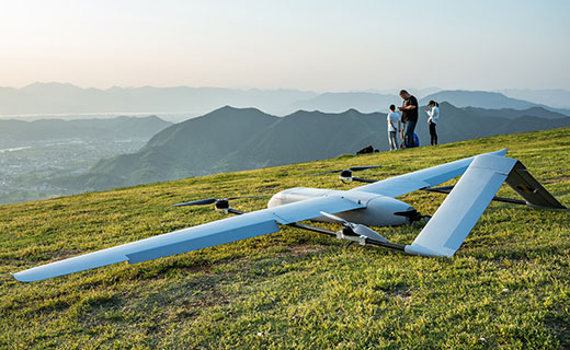
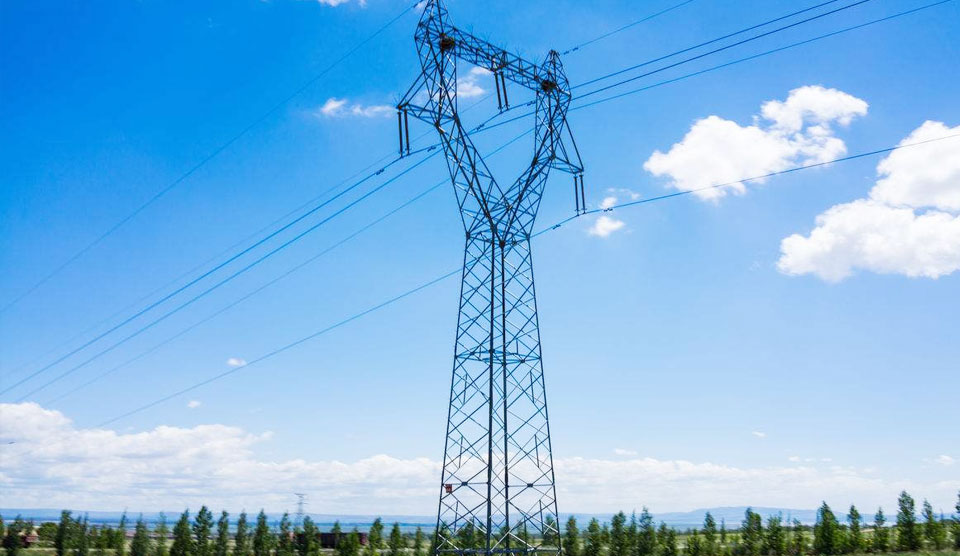
The aerial mapping drone is the solution to smart city development. The drone & UAV (Unmanned Aerial Vehicle) mapping platform features technology for surveying and coordinating.
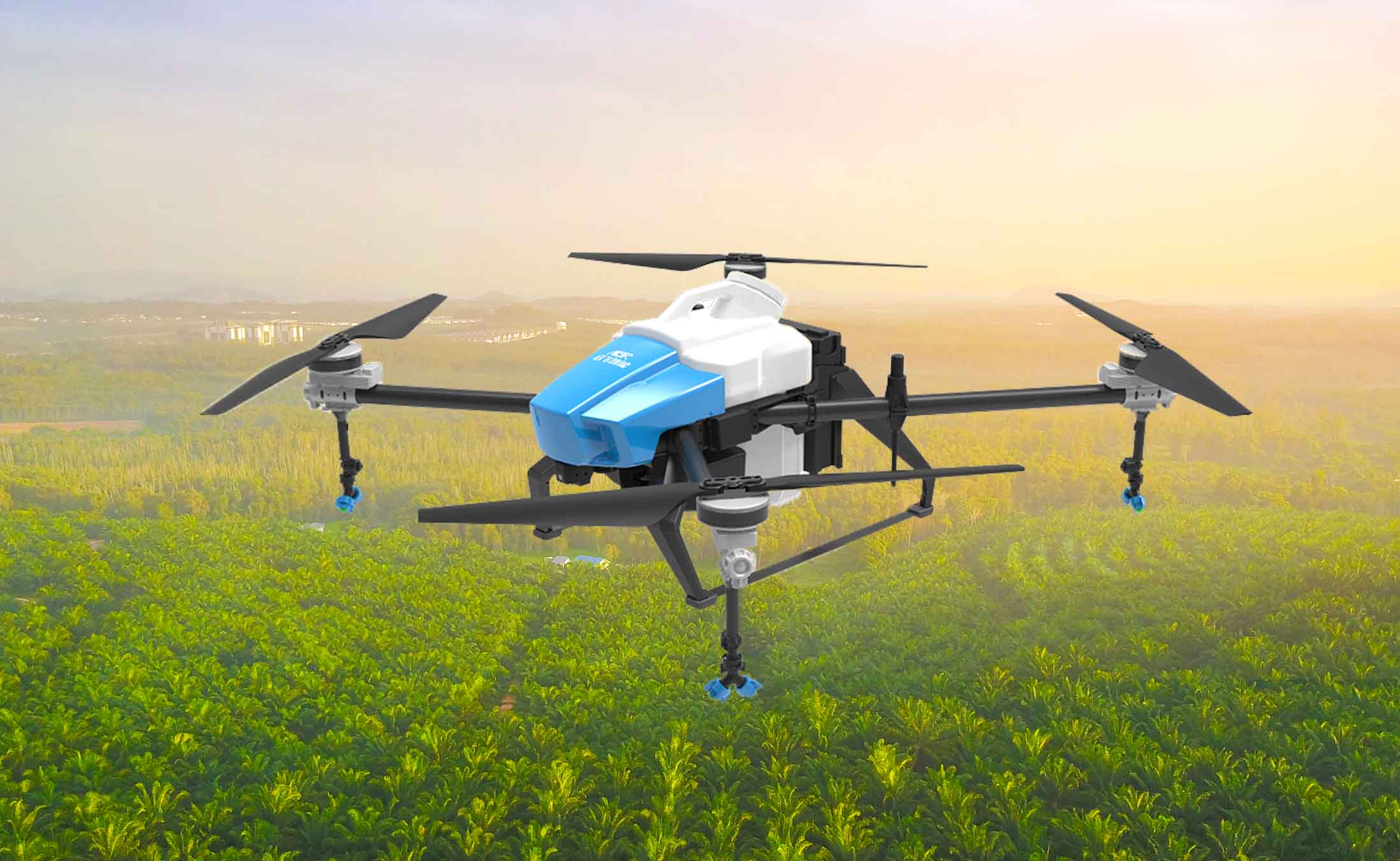
Our products has already been applied in various fields, such as geologic survey, aerial filming, aerial investigation,highway monitoring, landscape mapping, environment protection etc.
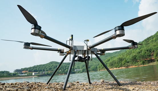
The FZ540 uses high-resistance carbon fiber material that provides stable and flexible design with low noise characteristics. It is very convenient for transportation and assembly, and has strong industrial applicability. The FZ540 is suitable to conduct projects in towns and populated areas.It can be used in various fields, such as aerial filming, aerial investigation, smuggling investigation, terrorists investigation, highway monitoring, geologic survey, landscape mapping, environment protection, disaster monitoring and emergency rescue, etc.
 Established in 2010, FZ international is specialized in the design, development, manufacture and sale of fashion