- Home
- Products
-
Industries
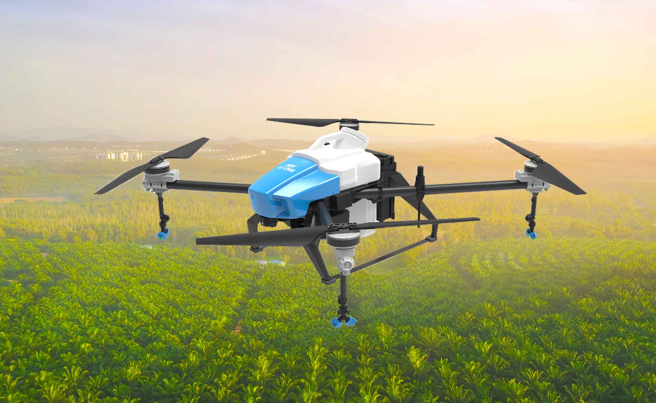
- Agriculture
- Mining
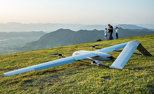
- Remote sensing surveying and mapping
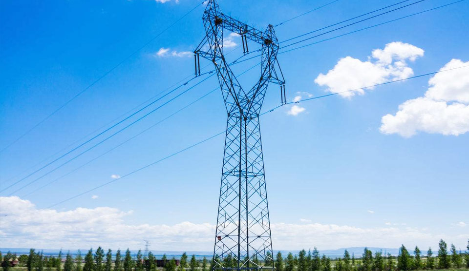
- Electric power inspection
- Public system
- Environmental protection water conservancy
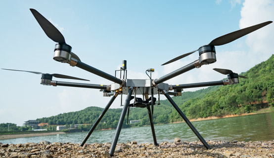
Our products has already been applied in various fields, such as geologic survey, aerial filming, aerial investigation,highway monitoring, landscape mapping, environment protection etc. -
Abouts Us
 Established in 2010, FZ international is specialized in the design, development, manufacture and sale of fashion
 - Blog
- Contact Us